Description
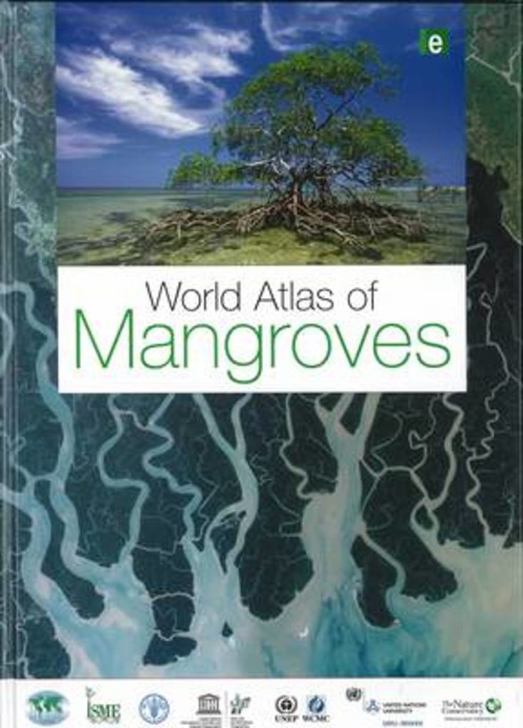
This dataset shows the global distribution of mangroves, and was produced as joint initiatives of the International Tropical Timber Organization (ITTO), International Society for Mangrove Ecosystems (ISME), Food and Agriculture Organization of the United Nations (FAO), UN Environment World Conservation Monitoring Centre (UNEP–WCMC), United Nations Educational, Scientific and Cultural Organization’s Man and the Biosphere Programme (UNESCO–MAB), United Nations University Institute for Water, Environment and Health (UNU–INWEH) and The Nature Conservancy (TNC). Major funding was provided by ITTO through a Japanese Government project grant; the project was implemented by ISME.
Citation
Spalding M, Kainuma M, Collins L (2010). World Atlas of Mangroves(version 3). A collaborative project of ITTO, ISME, FAO, UNEP–WCMC, UNESCO–MAB, UNU–INWEH and TNC. London (UK): Earthscan, London. 319 pp.
Use Constraints
UNEP–WCMC General Data License.
For commercial use, please contact business-support@unep-wcmc.organd isme@mangrove.or.jp. Please also refer to the license file (“WCMC-011-AtlasMangrove2010-License.pdf”) distributed with the dataset. Please send any modification and revision of the dataset to the ISMESecretariat (Faculty of Agriculture, University of the Ryukyus, Senbaru 1, Nishihara, Okinawa 903-0129 Japan; isme@mangrove.or.jp).
data.unep-wcmc.org

