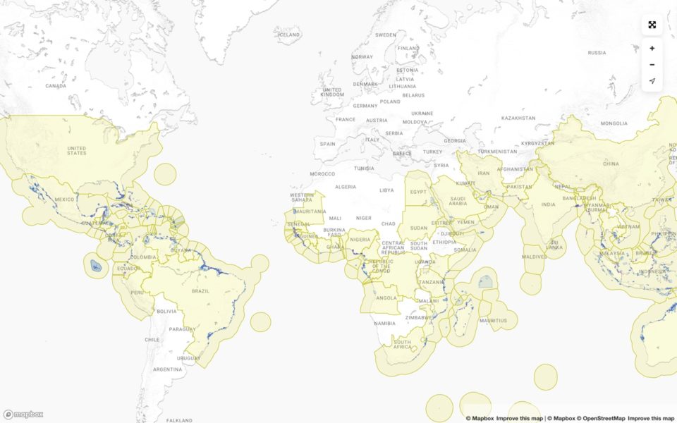
The Global Mangrove Watch platform (GMW) represents the primary source of information on global mangrove extent and changes – used by scientific bodies and Think Tanks like the World Resources Institute, project developers, and international and regional policymakers, including government bodies, and the UN Environmental Programme (UNEP).
The GMW platform uses datasets derived from Earth observation data (JERS-1, ALOS and ALOS-2 radar data from JAXA, Landsat data from USGS, and Copernicus Sentinel-2 data) along with local expertise to track the relative gain and loss of mangrove extent across the planet. It is the only platform of its kind which maps not only loss and gains in mangroves globally, but also which mangroves that are protected, how much carbon they can store in both aboveground biomass and mangrove soil, and presents this information in a way that is relevant for policy. It is free for anyone to use.
The latest GMW maps (GMW v3.0) were released in 2022 and comprise of mangrove maps for eleven annual epochs between 1996 and 2020. The data is featured in the second edition of the State of the World’s Mangroves report which shows that:
- The trend from 1996 to 2020 is a net decline of 5,245 km2 in mangrove extent, globally. There has been a reduction of 3.4% of our planet’s mangroves since 1996, with the biggest loss occurring in Asia (2813 km2 or 4.6%), Africa (648 km2 or 2.2%) and the Pacific (524 km2 or 3.1%)
- The most common cause of mangrove loss is clearance and conversion to farmland, agriculture, and/ or urbanization
- 8,183 km2 of mangroves are considered restorable, of which 2,000km2 are in Indonesia.
- Full restoration of the entire 8,183km2 could result in an additional 50 billion commercial marine species and benefit the countless communities that rely on fishing for their livelihoods.
- Restoration of losses since 1996 could safeguard carbon in soil and aboveground biomass equivalent to 1.27gigatons of CO2


